
Recognizing the Role of Groundwater in Climate Resilience

Climate change science predicts sea level rise and increased frequency of extreme events like droughts and storms. The importance of groundwater management in arid or drought prone regions is undeniable. So how does understanding groundwater movement,recharge, and storage effect the mitigation of extreme events? And what is the impact of groundwater policies on sea level rise?
As a hydrogeologist working as an academic advisor and lecturer in hydrology in the Masters of Applied Geosciences at the University of Pennsylvania, I try to be alert to the intersection of groundwater and climate resilience. Students are engaged and want to be prepared to develop solutions to these pressing challenges. One student, Rob Fetell, has even started a 501(c)(3) called the Resilience Youth Network to work toward a more resilient future. So, with our future in mind, I want to share a little from my growing awareness of how groundwater is directly linked to climate resilience.
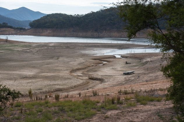
Groundwater aquifers are our largest source of freshwater resources, but in many cases they are being exploited beyond their recharge rate. Aquifers like the Ogallala, which provides irrigation water from Nebraska south to Texas generates $35 billion in agricultural production but will eventually dry out without large reductions in withdrawals (Scott 2019). Therefore, large changes in groundwater management and agricultural practices are needed to survive additional droughts predicted with climate change. In irrigated regions, groundwater can serve as a buffer when surface water supplies are reduced during droughts. However, in California, groundwater withdrawals have resulted in 20 – 30 feet of ground subsidence since 1960. The recent 2013 to 2016 drought caused nearly 3 feet in additional subsidence which complicates delivery of irrigation water in the aqueduct system (CADWR n.d.). These types of irrigation challenges will only grow with climate change.
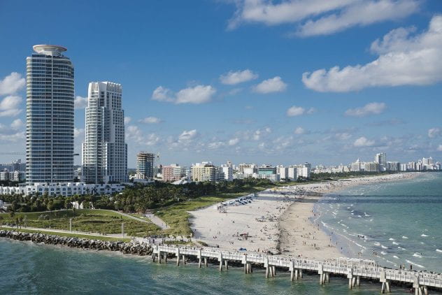
Land subsidence, or the ‘gradual settling or sudden sinking of the Earth’s surface’, from groundwater withdrawals also increases the vulnerability to flooding and sea level rise in places like the Galveston – Houston area in Texas. Land subsidence of up to 10 feet resulted in one residential area built in the 1940s being abandoned after inundation and frequent flooding and now has been converted to a nature center. The subsidence has been largely controlled by restrictions on groundwater withdrawals by the Harris-Galveston Subsidence district (HGSubsidence, n.d.) but the vulnerability to increased flooding from more frequent rainfall and sea level rise remains. Other coastal areas have found that they need to include subsidence in their sea level rise calculations.
In Florida, porous limestone bedrock complicates mitigation measures against sea level rise. Seawalls and buildings prone to flooding need to account for the water that can easily seep below their foundations (Sea Level Rise, n.d.). Understanding how water moves in the subsurface is critical to developing effective mitigation measures. Floodproofing a building requires ensuring the base floor is sealed and can withstand uplift pressures. A seawall may provide some protection from waves and storm surge, but rising waters overlying porous bedrock will require major pumping or other mitigation to prevent major flooding.
Scientists are predicting more intense and frequent extreme weather events. While this should instill a sense of urgency, there are steps that can be taken to ensure increased resiliency. One of those steps is understanding and addressing the role of groundwater in mitigating the effects of climate change.
Related links in order of reference
Scott, Michon. 2020 “National Climate Assessment: Great Plains’ Ogallala Aquifer drying out. NOAA webpage: News & Features. https://www.climate.gov/news-features/featured-images/national-climate-assessment-great-plains%E2%80%99-ogallala-aquifer-drying-out
CADWR. n.d. “California Aqueduct Subsidence Program” California Department of Water Resources webpage: https://water.ca.gov/Programs/Engineering-And-Construction/Subsidence
HGSubsidence, n.d. “Subsidence FAQ”, Harris-Galveston Subsidence District https://hgsubsidence.org/science-research/subsidence-faqs/
Sea Level Rise, n.d. “Florida’s Sea Level Is Rising, And It’s Costing Over $4 Billion” https://sealevelrise.org/states/florida/
- Flood Risk Stormwater Management
Research Focus

Tony Sauder is a registered professional engineer and geologist with more than 30 years of experience in water resources, hydrogeology and environmental engineering. At Penn, he serves as an academic advisor and lecturer in the Masters of Applied Geosciences (MSAG) program. For the past 15 years, he has brought practical experience to his hydrology classes from working at Pennoni on challenging water supply and stream restoration projects. Previously, he lived and worked internationally for over 10 years on projects involving water supply and sustainable development in Chad, Sudan, and Honduras. He has mentored projects with Engineers without Borders’ (EWB) in Honduras, Guatemala and Cameroon and serves with the Global Water Alliance. Tony received a dual master’s degree in Civil Engineering and Engineering Geology from Drexel.